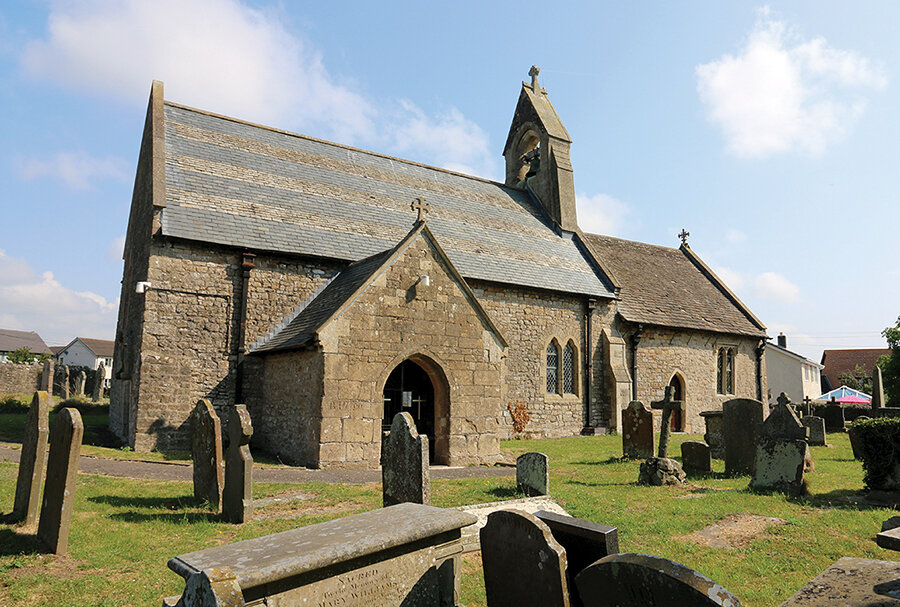
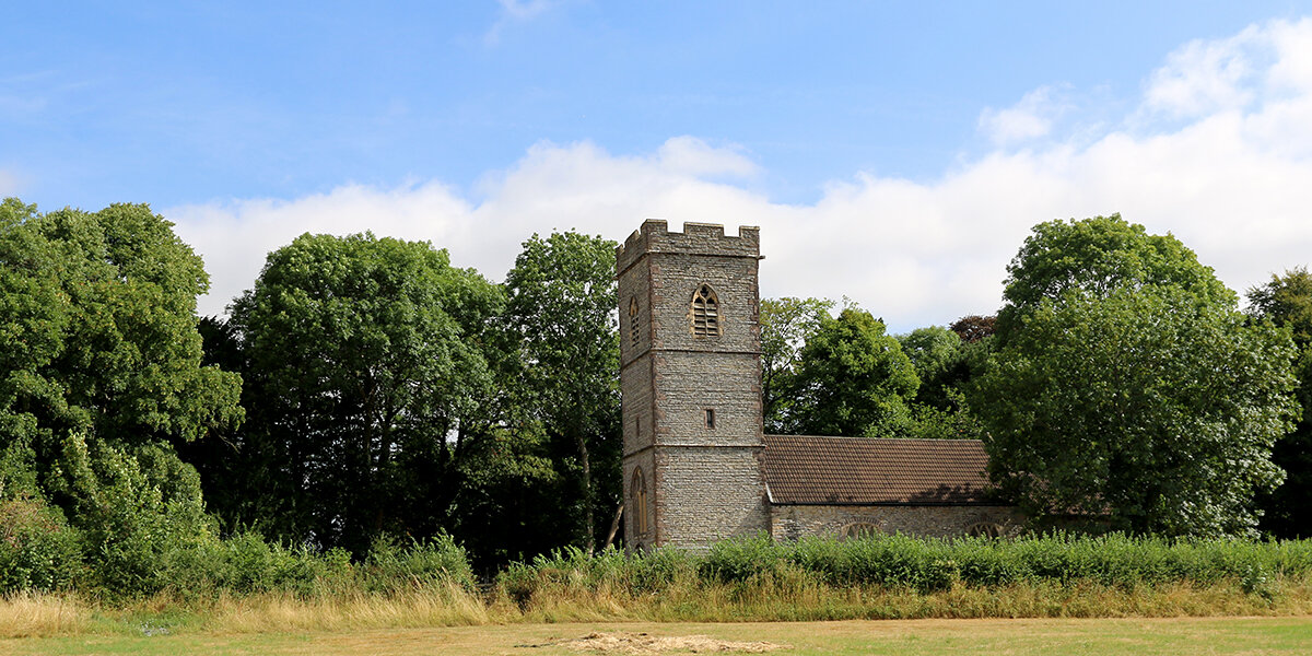
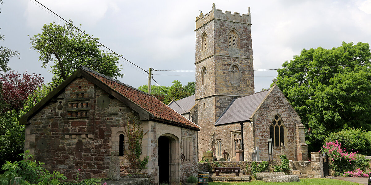
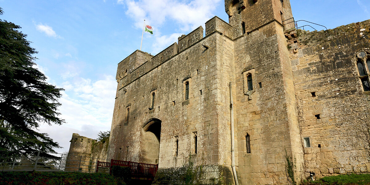
Walking the Levels: Loops & Links


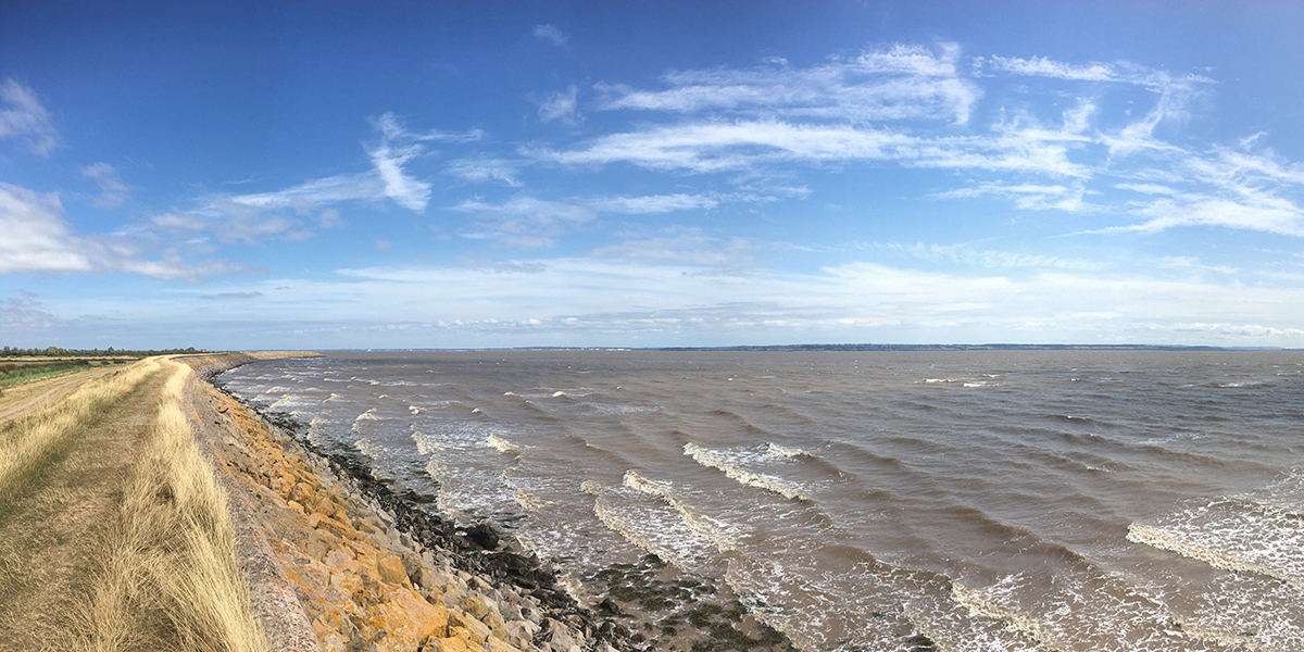
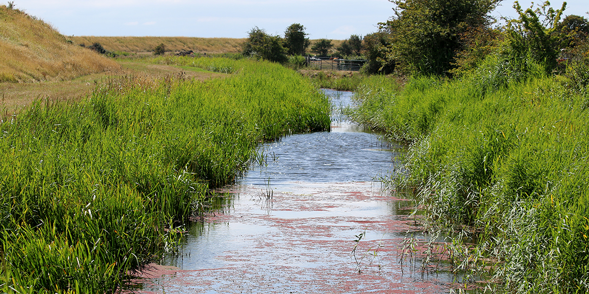
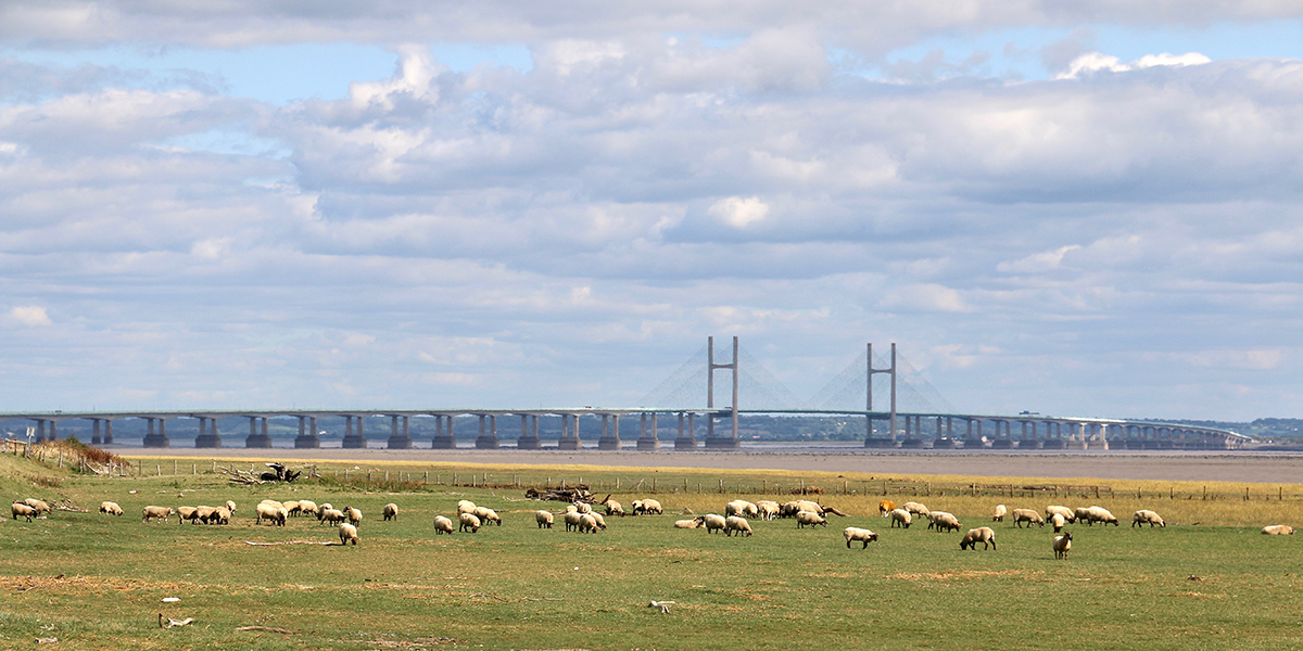
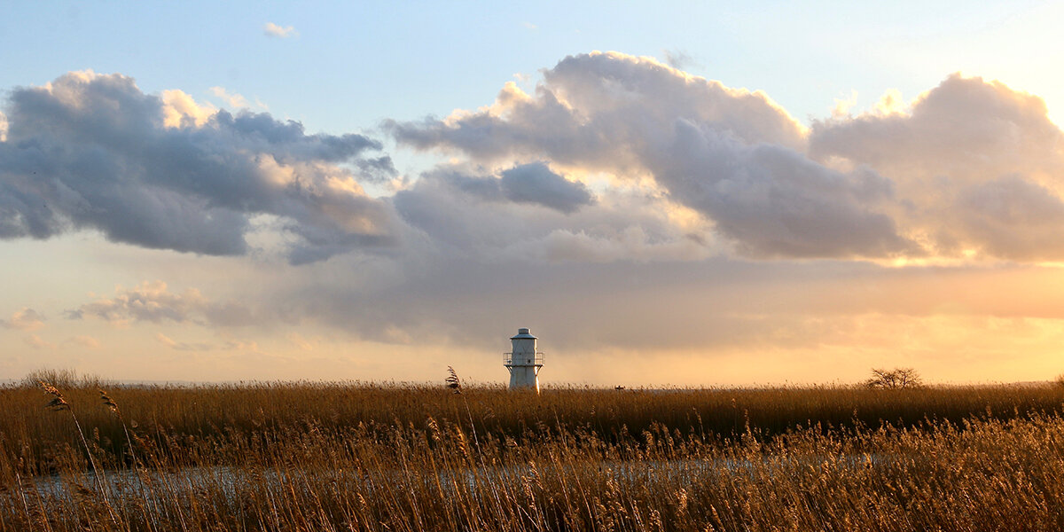
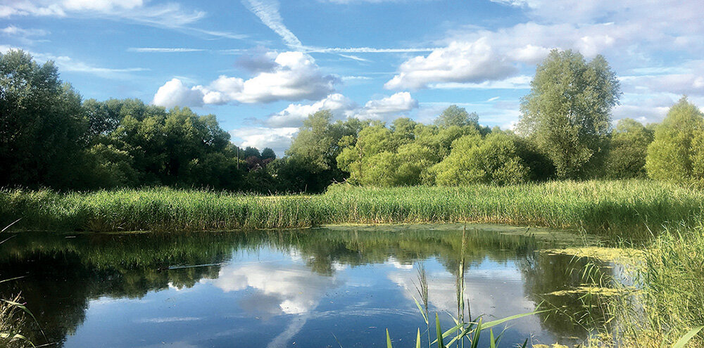
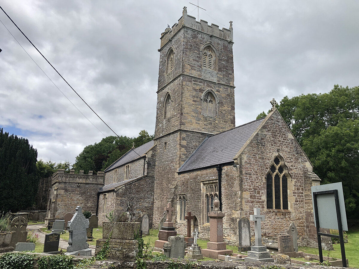
Explore the Gwent Levels along a network of footpaths, bridleways, and green lanes, including a section of the Wales Coast Path, and discover the areas incredible landscape, wildlife and history.
We have developed a series of circular and linear walks to help you explore the Levels. Click on the links below for more information and to download walk leaflets:
Follow the ‘Discover the Gwent Levels’ way markers.
Reporting issues with footpaths and bridleways:
The Rights of Way network on the Gwent Levels is maintained by the Rights of Way teams at Newport, Monmouthshire and Cardiff councils.
Please report any faults or issues to the appropriate authority:
► Newport Public Rights of Way
► Monmouthshire Public Rights of Way
► Cardiff Public Rights of Way
Follow the Countryside Code
- Consider the local community and other people enjoying the outdoors.
- Park carefully so gateways and driveways are clear.
- Leave gates and property as you find them.
- Follow paths but give way to others where it’s narrow.
- Leave no trace of your visit, take all your litter home.
- Don’t have BBQs or fires.
- Keep your dog under effective control and pick up after your pet – dog mess can harm livestock.
- Plan ahead, check what facilities are open, be prepared.
- Follow advice and local signs.
Navigating routes using GPX files
Many smartphones and tablets are GPS-enabled. Using a navigational app, such as OSMaps or ViewRanger, allows you to use a GPX files to follow a route.
- Install your chosen navigational app before setting out on your walk.
- Download the GPX file from the route page.
- Import the file into your app. How this is done depends on the app you are using.
Please be aware that using your phone's GPS can drain the battery. It is recommended that you carry a paper map as a backup.

Visit Monmouthshire has a fantastic range of self-guided walks.