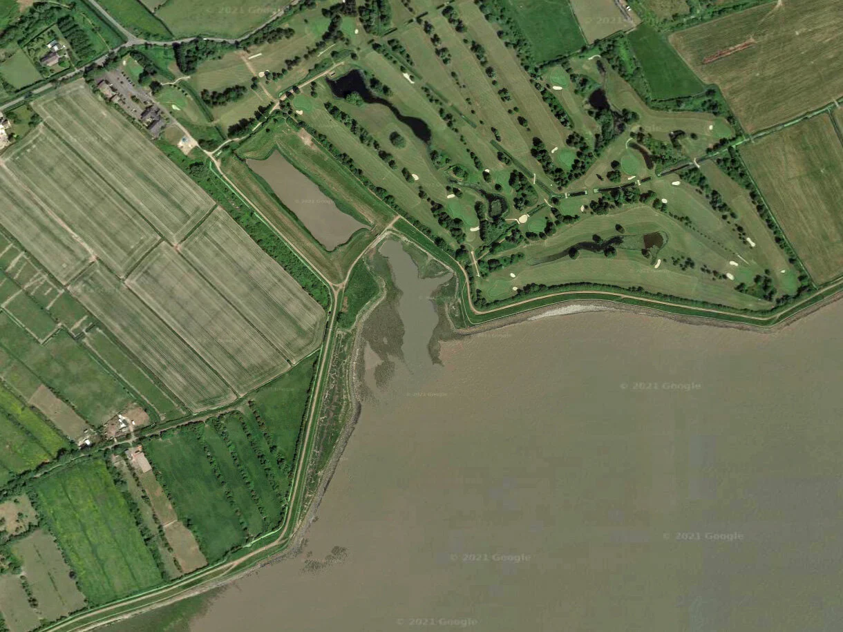
The picnic site at Black Rock offers spectacular panoramic views of the Severn Estuary and both bridges.
Black Rock has been a crossing point between England and Wales for centuries; Roman coins found in the mud along the foreshore were probably thrown into the water as an offering to the gods for a safe passage.
The earliest recorded regular ferry crossing is from 1131, between Aust and Beachley. This was used by the monks at Tintern Abbey and is often called the Old Passage, although the crossing at Black Rock, known as the New Passage, may actually be older! Both of these ferry crossings were dangerous; travellers in the 18th century would often take the longer land route via Gloucester rather than risk the crossing.
In 1864, the Bristol & South Wales Union Railway opened a new rail and steam ferry crossing at Black Rock. Trains would pull out on to a pier and passengers would descend to a waiting ferry. This would cross the estuary to another pier on the English side, where a waiting train would take them on to Bristol. You can still see the brick footings of the pier at Black Rock during low tide.
In May 1881, the pier was badly damaged by fire. It reopened later that year but became completely redundant when the Severn Tunnel opened in 1886. This staggering feat of engineering took almost ten years to complete (over 74 million bricks were used in construction) and cut the travel time from Cardiff to Bristol from 2.5 hours to just 75 minutes.
From June to August, look out for the lave net fishermen wading through the water at low tide with their ‘Y’ shaped nets. This traditional way of fishing for salmon has been practiced here since the 1700s and is the last of its kind in Wales.
Lave net fisherman, Black Rock (Nanette Hepburn (Hepburn Photography))
More Information
Click here for more information about Black Rock picnic site.
Follow the Wales Coast Path east across the Caldicot Levels towards Chepstow, west to the ancient hillfort at Sudbrook, or head inland to Caldicot Castle.
The Fisherman, created by Chris Wood, part of the People of the Landscape sculpture trail
Memory Treasure Map
Visit and explore seven locations on the Gwent Levels using our memory treasure maps which include information about what to look for and activities to help your class or family learn more about each place.


